What We Do.
FOCUSED ON GEOSPATIAL SOLUTIONS
FocusGeo is a professional GIS, 3D mapping and aerial imaging services company that is committed to providing geospatial solutions and data to support your organizations.
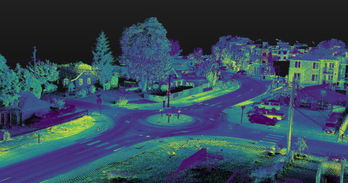
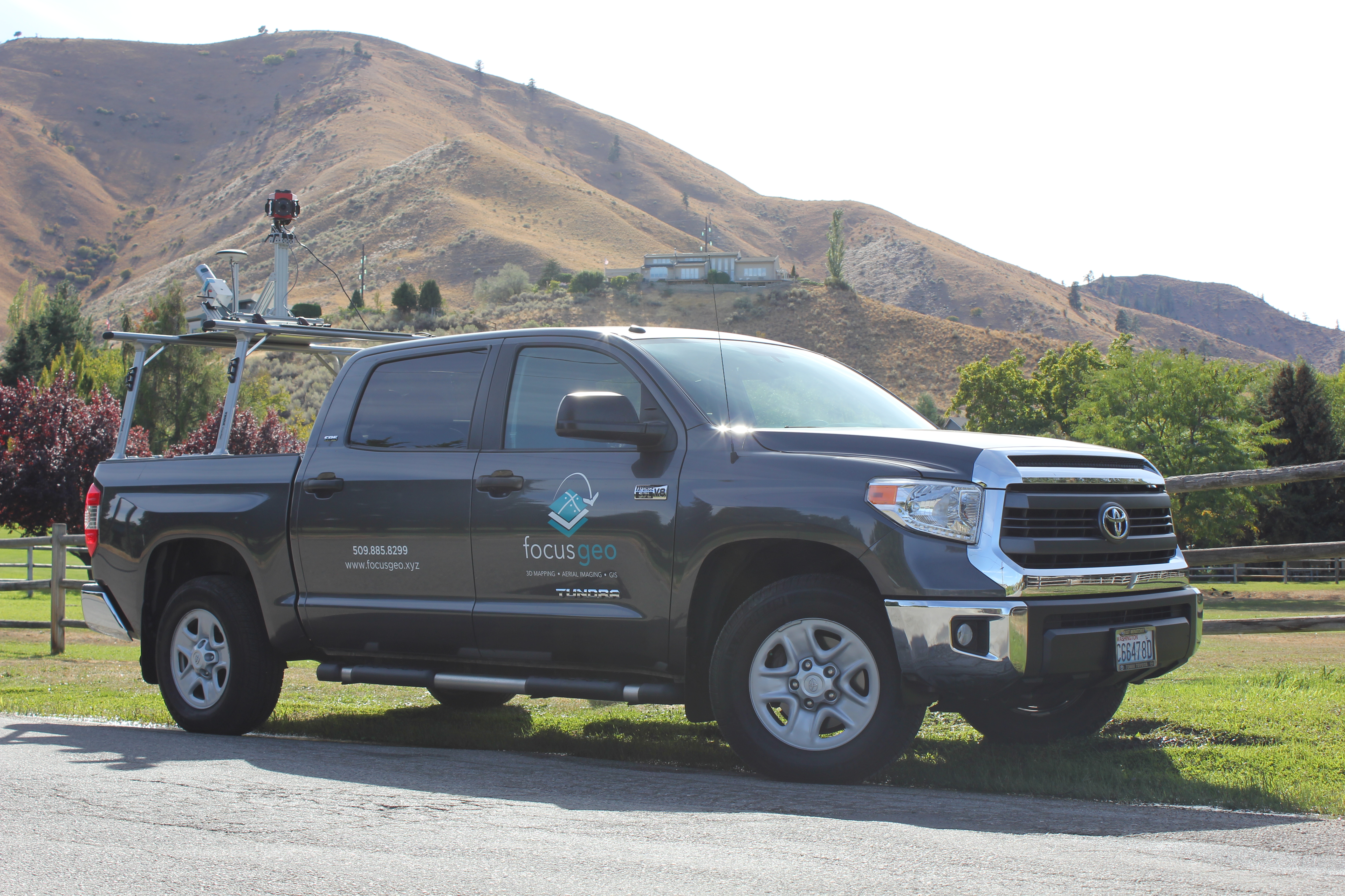
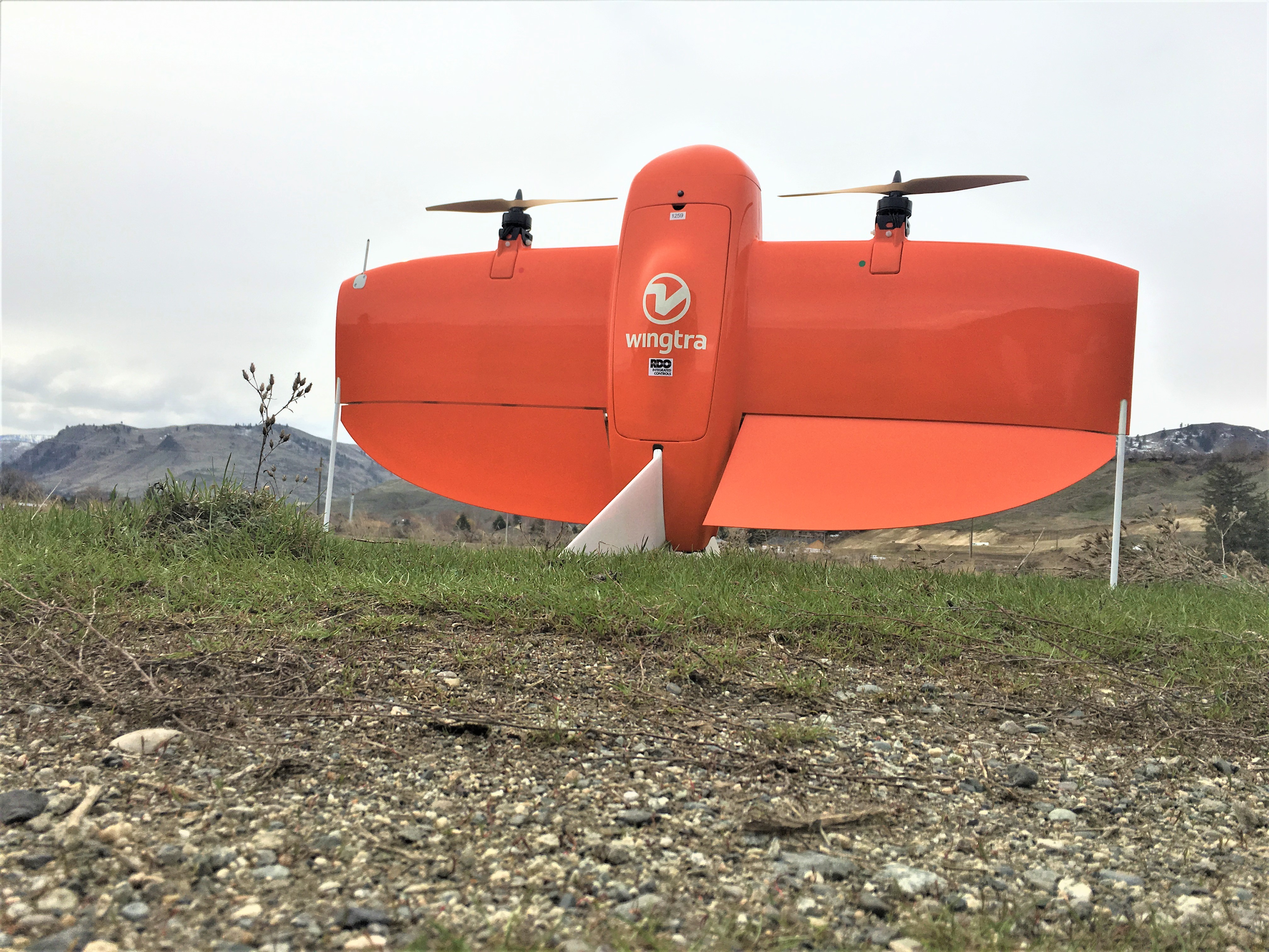
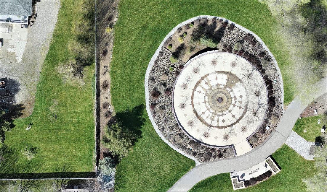
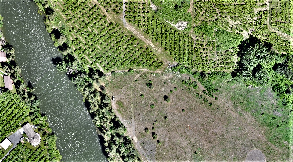
FocusGeo specializes in GIS strategic planning, GIS implementation, spatial analysis, application development, 3D mapping, and aerial imaging services. We help you plan and implement GIS solutions that scale with you as your needs evolve and grow. We leverage our experience in developing highly accurate spatial data using drones and mobile lidar to provide you with timely and accurate spatial data you can use to make more informed decisions about your business or project.
Clients.
MAKE A DIFFERENCE.
Jeff Berry, Principal at FocusGeo has worked in the geospatial services industry for over 20 years. His success in the field has largely been a result of his approach to customer service and his ability to establish long term working relationships with clients by understanding their geospatial needs and providing successful solutions.

“I’ve worked with Jeff for several years on various projects and each time he brings innovative solutions to the table. He’s very adept at assessing multi-dimensional challenges, fitting the pieces together and producting a tool or product that “brings it all together”. He takes time to listen and really understand a given problem and then engages the working group in developing a solution.”
LISA ANDERSON – GRANT COUNTY PUD
![]() “With a solid understanding of the requirements of the job to convert our master GIS data and design and build an ArcGIS Desktop toolbar to facilitate easy maintenance of this core data, Jeff went above and beyond the call to deliver what was expected . . . and more. He truly partnered with us to design and develop GIS solutions which work and fit excellently within our organization.”
“With a solid understanding of the requirements of the job to convert our master GIS data and design and build an ArcGIS Desktop toolbar to facilitate easy maintenance of this core data, Jeff went above and beyond the call to deliver what was expected . . . and more. He truly partnered with us to design and develop GIS solutions which work and fit excellently within our organization.”
JEFF ANDERSON – SNOHOMISH COUNTY COMMUNITY TRANSIT


